Pat & I taveled to Oaxaca, MX, planning to spend three and half weeks, two weeks in Oaxaca City then a week in Puerto Escondido; Jay joined us for the first week and a half. We arranged with a friend and frequent guide, Eduardo, for Jay and me to visit Los Pueblos Mancomunados, a group of eight indigenous Zapotec villages in the mountains north of Oaxaca City who have joined to develop ecotourism programs. As part of those programs, they have developed a network of hiking trails that connect their villages and they offer guide services for hiking on their trails.
The Drive In
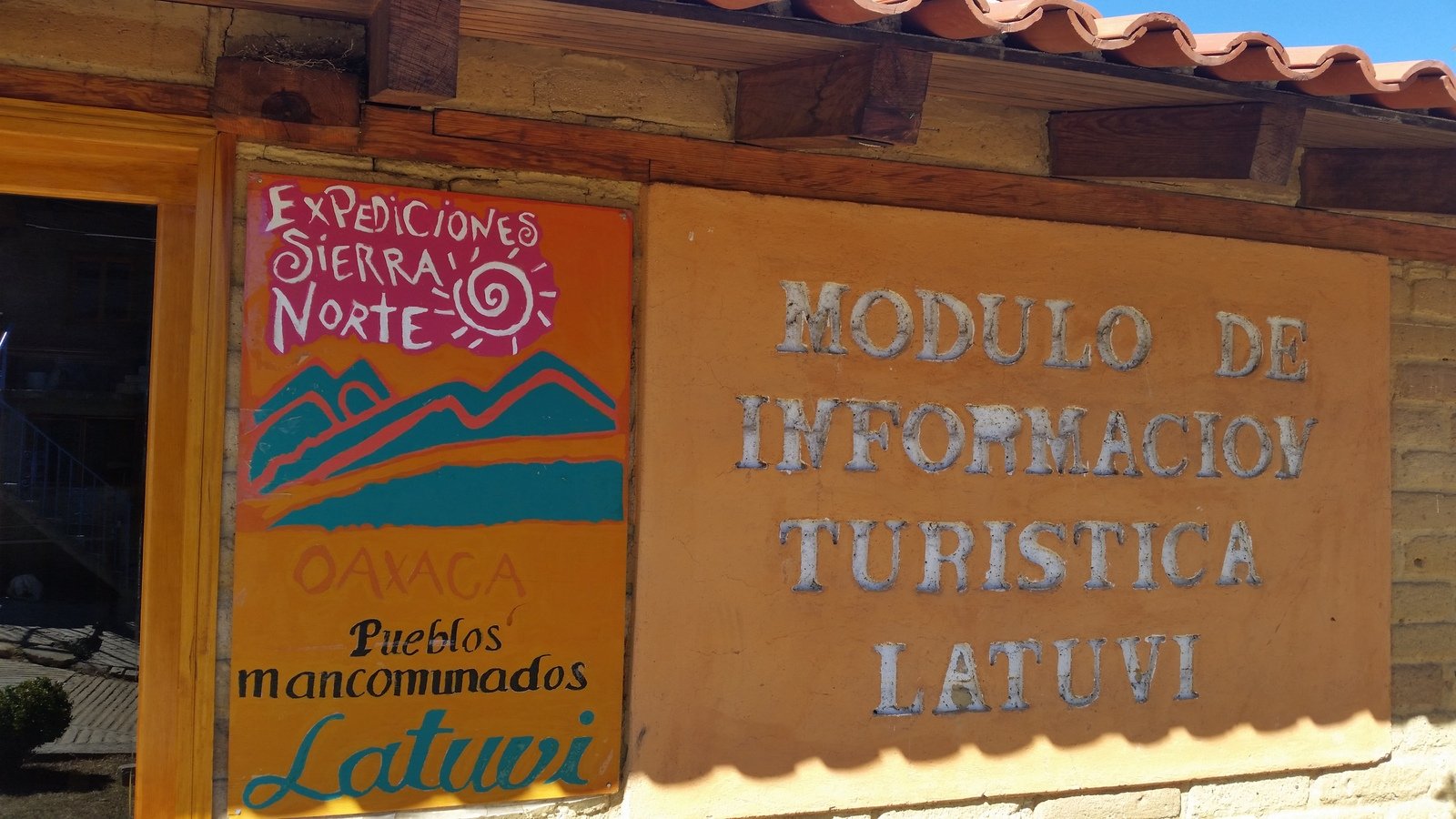
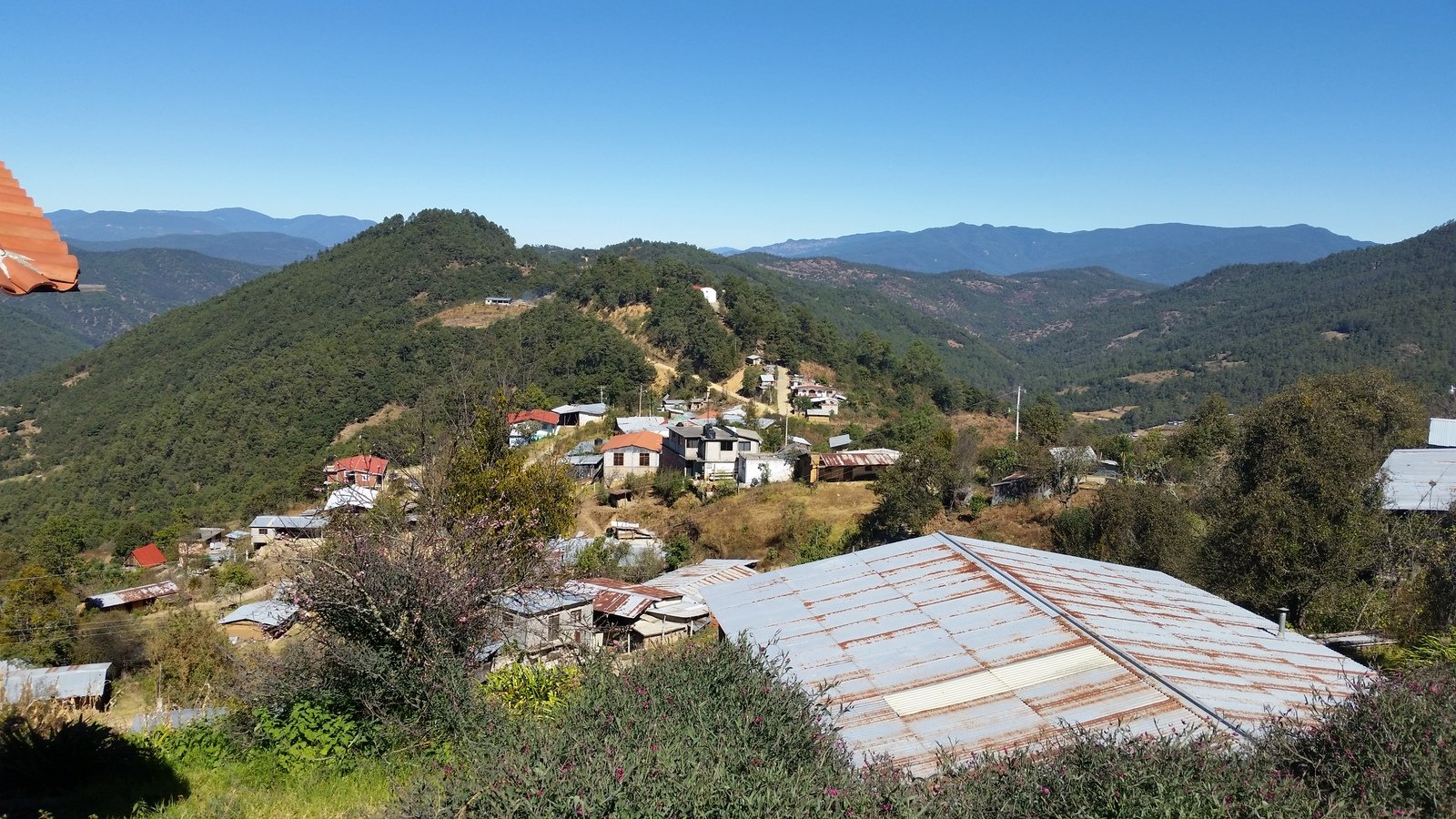
Eduardo made arrangements for us to hike from Santa Marta Latuvi to a spot near Santa Catarina Lachatao. We drove from Oaxaca City up Route 175 (Tuxtepec-Oaxaca road) into the Sierra Norte, climbing on a paved road (not all roads hereabouts are paved) from 5,400 feet elevation topping out at nearly 9,000 feet, then descending to about 6,000 feet. Like all the roads in the Sierra Norte that I’ve been on, this was a twisting, turning two-lane highway, many switchbacks, often with a cliff above on one side and a drop-off cliff on the other side of the road. Throughout the vegetation was thick on both sides of the highway. About 24 miles from Oaxaca City, we turned south onto Av Benito Juarez, a road that soon turned to gravel, ascending back up to about 8,000 feet at Latuvi. After disembarking at Latuvi, Eduardo’s driver headed off for Lachatao to wait for us at the other end of the hike.
The Hike

Latuvi Hike.Jay.2018-01-10
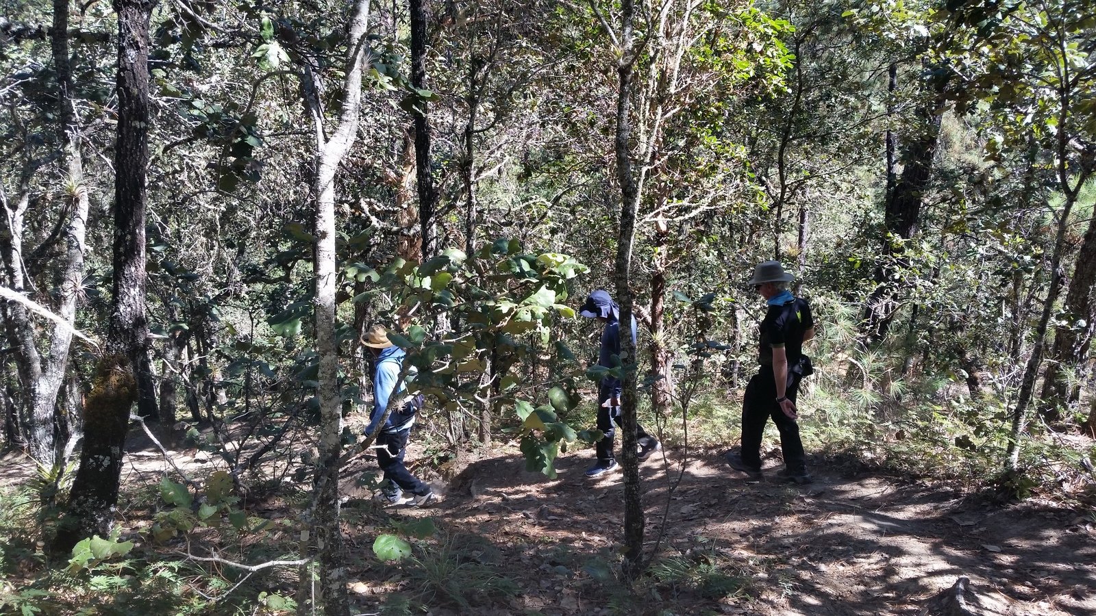
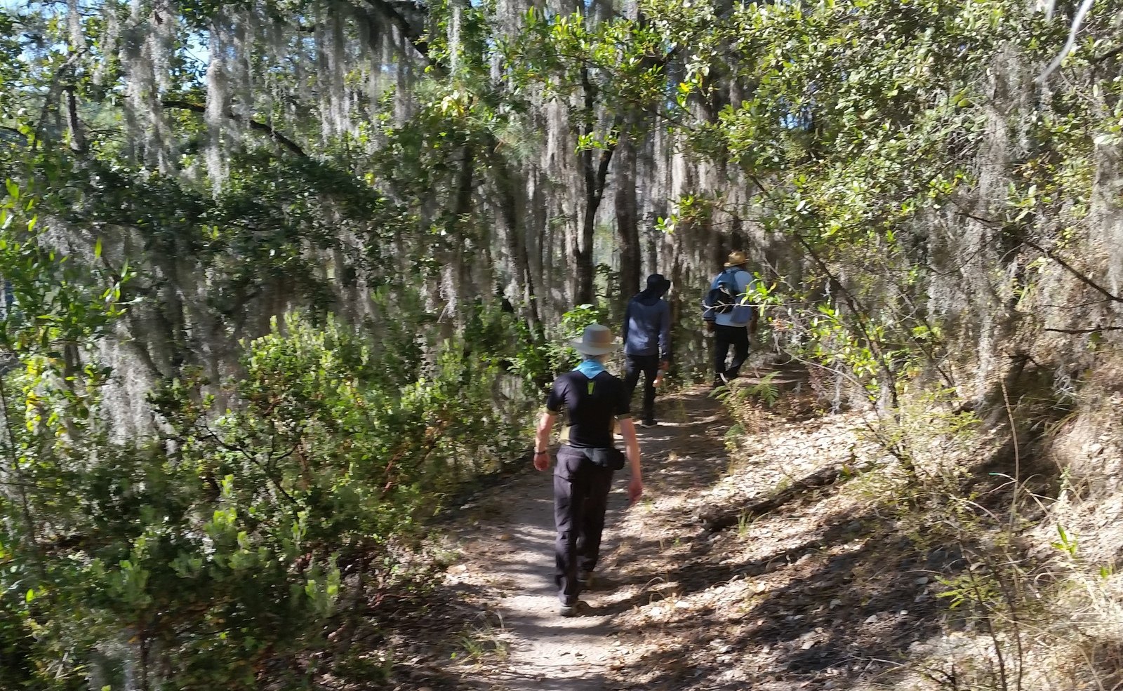
In Latuvi we met Juan whom Eduardo had engaged to be our guide on the trail. The first three quarters of a mile was down a steep, well used path, from 7,800 to about 7,000 feet elevation where we joined the main trail along the Arroyo Socorro (river). From there we hiked along the river, passing through what to me was high-elevation tropical vegetation, finishing with a short climb up to the road near Lachatao.
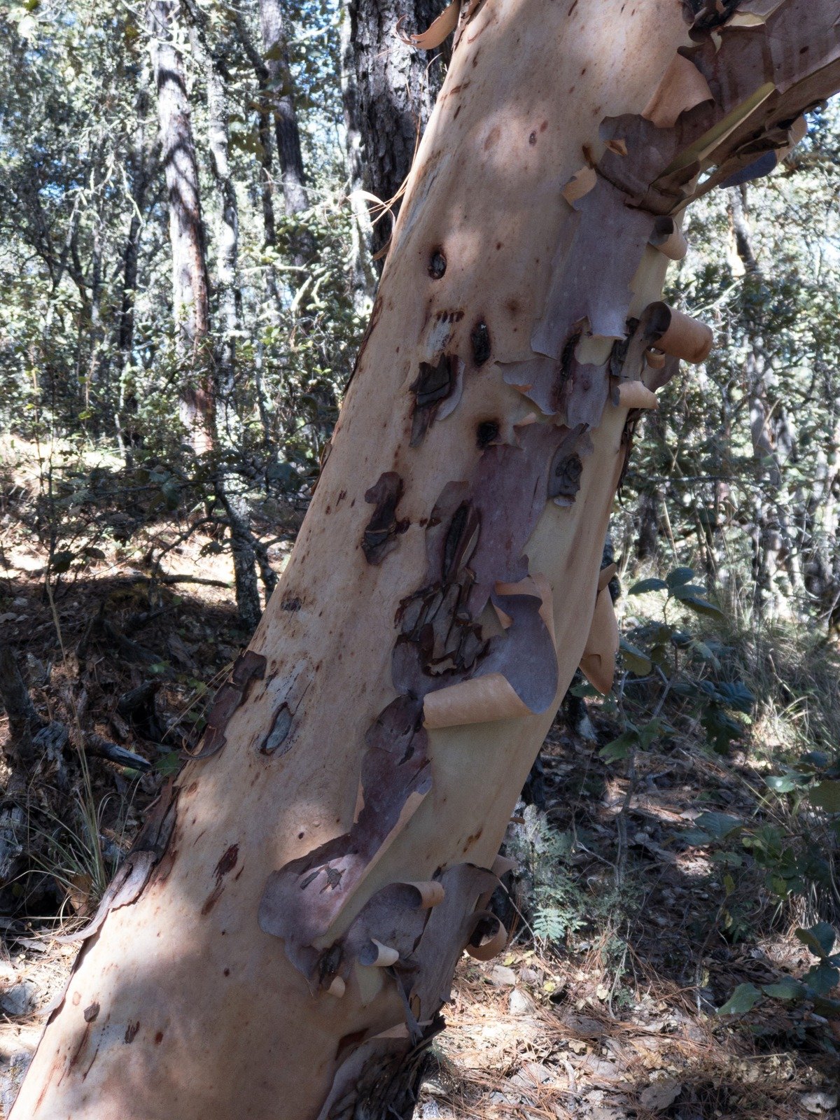
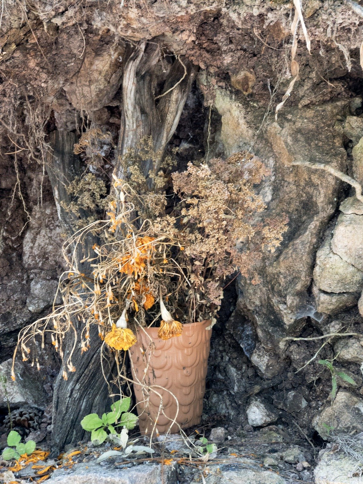
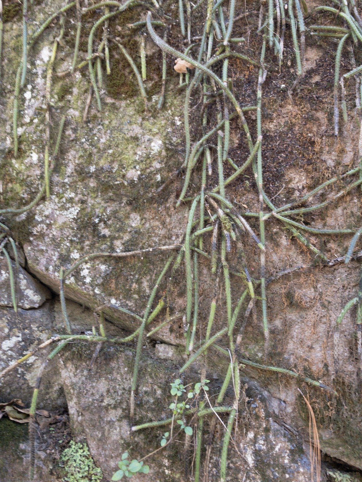
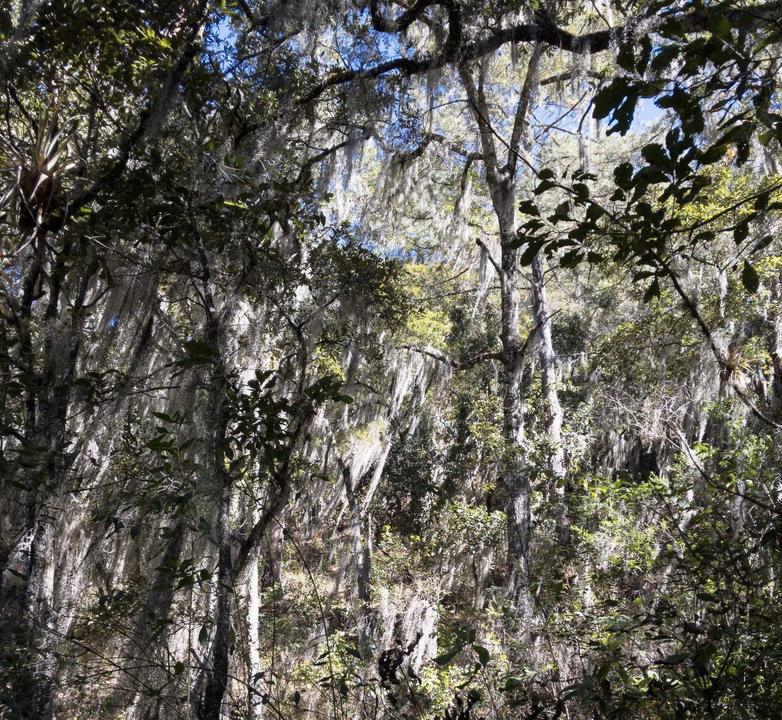
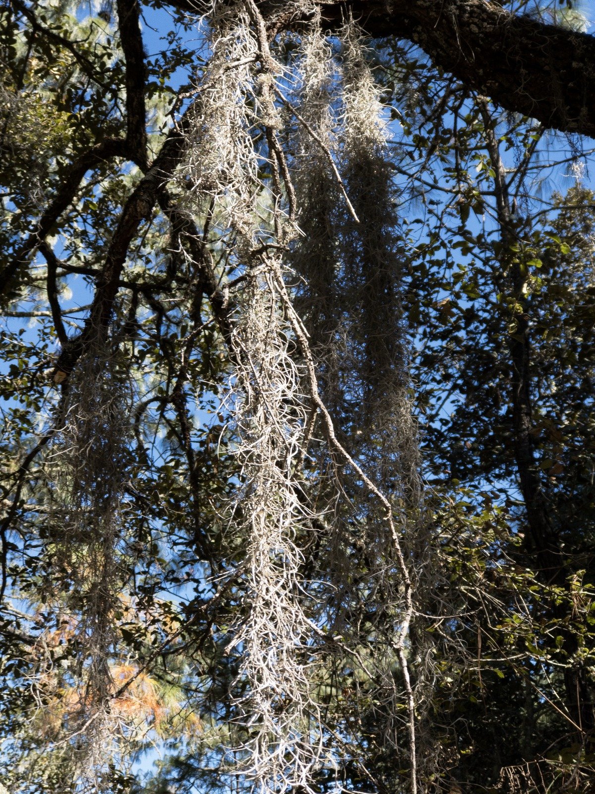
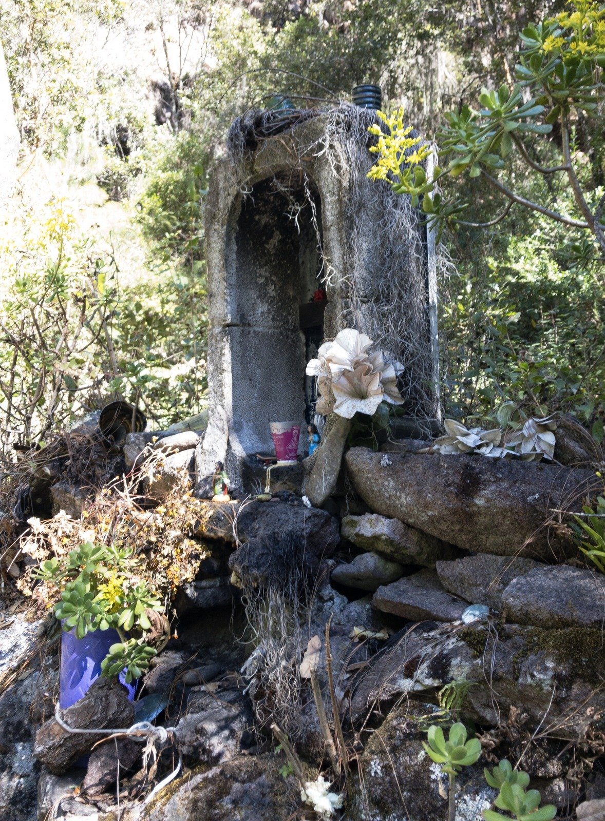
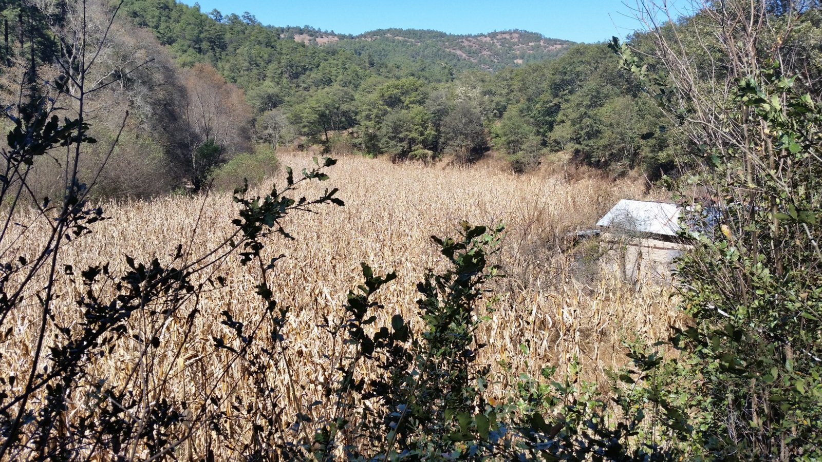
The trail is well used – few local folks have vehicles so these trails are in constant use by people going to and from the villages, fields, markets, and many of their daily activities. The trail passes through lots of vegetation, from shrubs and vines to various deciduous and conifer trees, even a few agaves (someday to be harvested for making Mezcal). We also passed many small plots of corn, some already harvested; at one field villagers were in the process of gathering the ears, picking each from it’s stalk, placing it in a bucket, then transferring to a larger container carried by a burro back to their village. Along the way Juan took time to point out some of the plants and their medicinal benefits – an example: leaves known as ‘deer tongue’ that relieve stomach discomfort.
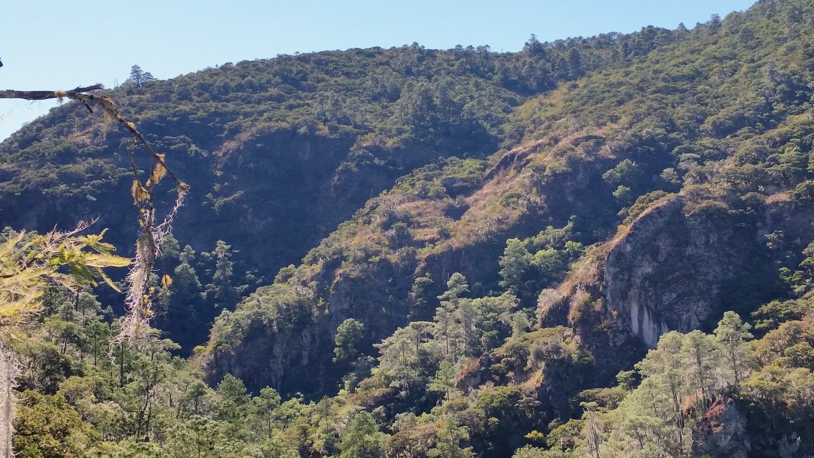
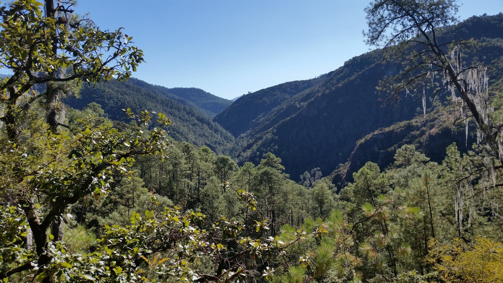
The bottom of Arroyo Socorro is seldom wider that 100 yards; steep forest-covered hillsides bound the valley with rock cliffs appearing in a couple of places. The stream runs year-round we’re told; ’tis low during this time of the year (the dry season) but becomes quite high during their wet season. We also passed a few small springs, those being the source of water throughout the year.
Climbing up some 500 feet from the river, we met the car and driver near the village of Lachatao who took us into San Miguel Amatlán (a nearby village) and the facilities for Los Pueblos Mancomunados where we had a quite nice lunch. We were then back on the twisty-winding roads to join up with Route 175 to return to Oaxaca City. Check out the GoogleEarth .kml file Latuvi DriveInOut.Jay.2018-01-10 to see the complete ‘expedition’.
Jay here: Following the river for most of the hike made for an uncharacteristic experience. We usually start off with ascent rather than end with it. Juan would frequently stop and explain what a particular wild plant was good for and Lalo would translate it for us. It became comical after a while because it seemed as if every plant was good for “estomica” leading us to believe there was a lot of indigestion in the valley. At the end of the hike we dropped off Juan who casually loped off for an 6 or 7 mile hike back to his home in Latuvi. All in a day’s work.
Statistics
Total Distance: 7.02 miles
Elevation: start 7,833 ft, maximum 7,833 ft, minimum 6,446 ft
Gross gain: 1,387 ft. Aggregate ascending 1,707 ft, descending 2,591 ft
Maximum slope: 48% ascending, 36% descending, 8.8% average
Duration: 4:23
| GPS Track Files for Download | |
40 Downloads |
|
|---|---|
30 Downloads |
|
125 Downloads |
|
172 Downloads |
|
124 Downloads |
|
304 Downloads |
|
I urge you to explore our hiking tracks with Google Earth. With the virtual 3-dimensional presentation, achieved by panning and tilting the view, you can get a much better idea of the hikes and terrain than you can get from the 2-dimensional screenshot above. For assistance: Using Google Earth Track Files.
References
Outdoor Project: Sierra Norte of Oaxaca
HoofingItInOaxaca: Hiking Venues for “Hoofing It In Oaxaca”
Independent:
How to have a Mexican Adventure Without Destroying the Local Communities
Things to do in Oaxaca: Sustainable Tourism in Oaxaca
TripAdvisor:
Beautiful hike and Outstanding Bungalows—Hike fromLatuvi to Lachatao
TripAdvisor: Latuvi to Amatlan
Oaxaca mio:
Santa Marta Latuvi
Santa Catarina Lachatao
San Miguel Matatlan