Introduction
This seems to be a popular destination, although most people get to the falls on the East Fork Jemez Trail from the Battleship Rock trailhead on NM 4.
The Drive In
We chose instead to start at the Jemez Falls Campground trailhead.
The Hike

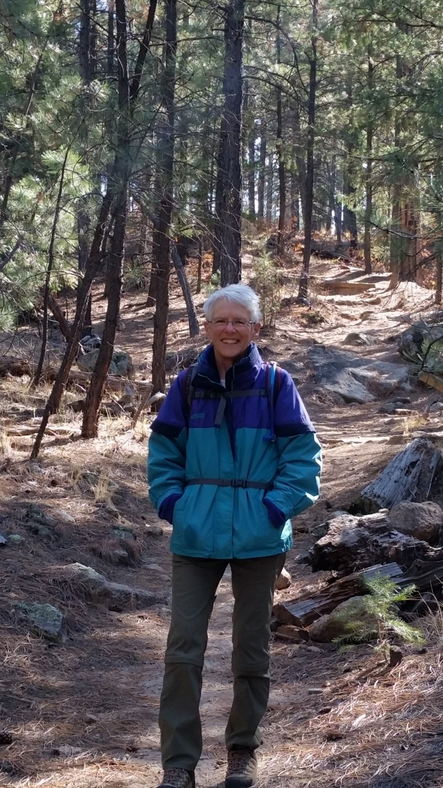
McCauley Warm Springs Hike.Pat.2017-11-10
The trail is easy to follow, seems to be well used. The first half mile is easy, a clean trail with little elevation change. It then starts a descent into the Jemez River canyon with stretches of the trail that are quite rocky. About 1.25 miles on, the trail generally follows a topo line, descends a bit more to enter the short side canyon in which the Spring resides. To reach the springs and 3 pools, one must bear to the right and climb up this side canyon .2 miles or so. (We were tempted by what appeared to be a well-used trail that bore a bit off to the left, but noticed a log had been placed across it, a common signal that -this- is not the/a trail.)
Two of the pools looked like great for soaking, although the water was at best luke-warm. The bottoms looked to be sandy. A couple who were there ahead of us were enjoying the upper pool; I judge it to be about 3 feet deep. We doffed our boots and soaked our feet for a bit, and allowed the guppies to tickle our toes.
The return was uphill, not our favorite for the last half of a hike. We were nudged on uphill, having made note on the way down of a short side trail leading to an overlook where we might have our mid-hike break. We were not disappointed – the view was great. (See the short excursion to the south on the GPS track at the 3.23 miles from start, or about half a mile from the trailhead.)
Statistics
Total Distance: 3.78 miles
Elevation: start 7,942 ft, maximum 7,994 ft, minimum 7,377 ft
Gross gain: 617 ft. Aggregate ascending 1,372 ft, descending 1,370 ft
Maximum slope: 47% ascending, 48% descending, 12% average
Duration: 4:04
| GPS Track Files for Download | |
83 Downloads |
|
|---|---|
86 Downloads |
|
If you haven’t explored these hiking tracks with Google Earth, I urge you to try it. With the virtual 3-dimensional presentation, achieved by panning and tilting the view, you can get a much better idea of the hikes and terrain than you can get from the screenshot above. For some ideas, check out Using Google Earth Track Files.
References
YELP: McCauley Hot Springs
TripAdvisor: Hiking to McCauley Hot Springs
AllTrails: McCauley Hot Springs
Reef to Rainforest Media:
Feral Guppies Thrive in New Mexico’s McCauley Hot Springs