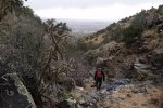
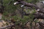
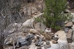
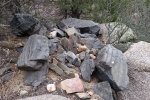
This was a return to a trail that we’ve done before, back in 2013 and 2014. Close to Placitas and the Cafe where we regularly meet for breakfast before hiking, it is a good workout.
The Hike
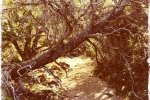
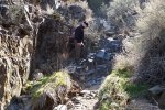
From parking midway around Forest Loop Road, the entrance to the canyon is fairly wide. But it soon narrows and becomes quite narrow as one ascends in the canyon bottom. At about .9 mile into the hike one encounters the first of a number of rocky climbs. These are in no way treacherous, no scrambling is involved, but one must work up rock-over-rock, and come down slowly and carefully. (These sections of rock or steep incline can be picked out from the Profile below the GoogleEarth image above. The blue line shows our speed – where our speed is low we’re working our way up, or down, those rocky stretches.)
Weather was iffy for this hike, taking place midway through a period of windy and wet weather common in the Mountain West. Temperature was comfortable to start out, but the wind was quite strong coming down the canyon. As we ascended from the 6,000 ft elevation towards the max of 7,200 ft, the temperature dropped from fiftyish to the low 40s. And a squall formed over the north end of the Sandias, delivering some light snow while we had coffee and started back down the canyon. Upon returning to the car we were in sunshine and fiftyish temperature again.
Jay here: You can call it a squall or you can call it a lateral tornado. Either way, the canyon was acting like a funnel for the high winds. Thanks to our handy myBlue-T temperature app (sensor attached to backpack, app on the iPhone) we determined that it was 41 degrees at 7,200 ft, but if you throw in windchill, it felt more like 35 degrees. Not the kind of coffee break where you linger.
Statistics
Total Distance: 3.36 miles
Elevation: 6,087 start, 7,217 maximum, 6,087 minimum
Gross gain: 1,130 ft. Aggregate ascending 1,195 ft, descending: 1.196 ft
Maximum slope: 39% ascending, 44% descending, 13% average
Duration: 3:32
| GPS Track Files for Download | |
58 Downloads |
|
|---|---|
47 Downloads |
|


