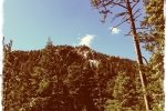
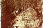
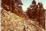
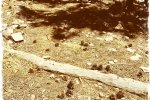
On Sunday, the second day of our two-nights in Manzano Mountains State Campground we headed for the Ox Canyon trail. We chose it over Kayser Mill or Spruce Spring because on the topo map it appeared to be not as steep; this proved to be the case, particularly at the beginning.
The Hike

Flora for today’s hike: The first of small yellow flowers, enjoying a sunny spot next to a warm rock.
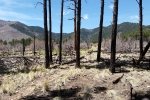
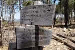
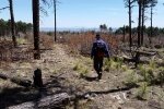
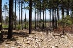
The trail begins at a parking lot for the Ox Trail, proceeds across an area of Ponderosa pine, a very open forested area thanks to clearing maybe after a fire some years ago. Then about 1000 feet one encounters an intersection with the Box Spring trail which goes to the Red Canyon campground (our trailhead for the hike yesterday). From here, one crosses a more open area with a rocky trail surface. About a half mile into the nike, the trail enters a forested area which continues for the rest of our hike.
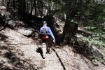
Two thirds of a mile into the hike, the trail leaves the bottom of the canyon and continues on the south slope with numerous switchbacks, some to get above areas of large rockfalls, others go ascend steep grades. On the way up we missed the first major switchback and continued in the bottom of the canyon. As tree falls and the narrowing canyon made it more and more difficult, we figured were into bushwhacking and climbed up the south face of the canyon to get back on the trail.
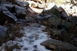
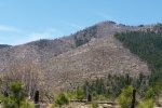
We encountered snow about half way to our turnaround and had to skirt a few fallen trees. We met an overnight backpacker who reported more snow as we went further up the trail; at that point we stopped for our mid-hike repast. He also reported that he saw quite a few bear and bobcat tracks and those of very large wild turkeys. Staying -on the trail-, the hike down was much easier. As we got into the open forest near the bottom of the trail, the views into this open forested area and out across the plains were stunning. (In the header image, the hill in the center of the view is Cerrito del Llano, where we’re building our cabin.)
Jay here: The Red Canyon hike that reached 9,600 feet the day before this hike did help condition us somewhat to the need for oxygen on a hike like this one. The total ascent was less than Red Canyon but the steepness of the grade made it difficult. The missed switchback turn I thought was a good lesson in why it’s important to consult the trail map on the tablet before making the decision to bushwhack our way out of it. On the downward hike it seemed like it was such an easy path to see, I’m still wondering how we missed it. This hike did reveal to us that there is often a feng shui aspect to our hikes, where nature has aligned logs, pine cones, rocks and other objects in just the right configuration that rarely (albeit sometimes) can be improved upon. See photos in gallery for examples,
Statistics
Total Distance: 5.01 miles
Elevation: start 8,072 ft, maximum 9,167 ft, minimum 8,072 ft
Gross gain: 1,095 ft. Aggregate ascending 1,542 ft, descending 1,542 ft
Maximum slope: 45% ascending, 41% descending, 11% average
Duration: 3:59
| GPS Track Files for Download | |
71 Downloads |
|
|---|---|
32 Downloads |
|
I urge you to explore our hiking tracks with Google Earth. With the virtual 3-dimensional presentation, achieved by panning and tilting the view, you can get a much better idea of the hikes and terrain than you can get from the 2-dimensional screenshot above. For assistance: Using Google Earth Track Files.
References
US Forest Service: Manzano Mountain Trails (pdf)
ASCHG: Box Spring – Ox Canyon – Crest – Red Canyon Hike
SummitPost: Ox Spirng Canyon Trail
New Mexico State Parks: Manzano Mountains State Park


