Thomas came to visit from Oakland, and started with a 3-day trip to Ruidoso, NM. The first night there, we attended a Chuckwagon Dinner and Wild West Show at the Flying J Ranch. It was quite the entertainment, and the served a good ‘chuckwagon’ meal – ’tis a great place for families.
The Hike, #1

Hike 1: Track from base of Gondola Ride at Ski Apache to the top, with hike back down.
(Click on the above image for a full-size view.)
The next day we drove to Ski Apache to take the Gondola Ride up Mount Lookout. It was quite the view to see, before we hiked back down to the resort. We followed a service road because the ski trails were very steep – we tested a couple of them and decided – nope, we’ll stick to the road. In the background of the GoogleEarth image above, you can see Sierra Blanca Peak a bit to the left, and beyond it to the right is the White Sands Missile Range and White Sands National Monument.
Statistics 1
NOTE: These statistics are for the hike down
Total Distance: 2.9 miles
Elevation: 11,393 start, 11,393 maximum, 9,760 minimum
Gross gain: 1,633. Aggregate: ascending 124 ft, descending: 1,757 ft
Maximum slope: 30% ascending, 34% descending, 5.4% average
Duration: 2:11
| GPS Track Files for Download | |
54 Downloads |
|
|---|---|
53 Downloads |
|
The Hike, #2

Hike 2: Track from top of Gondola Ride to peak of Mount Lookout, near Ruidoso.
(Click on the image above to see a full-size view.)
While having lunch, we learned that there was a trail from the terminus for the Gondola Ride up to the top of Mount Lookout – we went back up the mountain and walked to it’s peak.
An even better view than from the upper terminus of the Gondola Ride. (The aberration in the elevation/speed profile at the bottom of the screenshot above is a ‘hiccup’ by the GPS. And the track shows only the hike down.)
Statistics 2
These statistics are adjusted for the up & down track.
Total Distance: 0.6 miles
Elevation: 11,393 start, 11.552 maximum, 11,393 minimum
Gross gain: 159. Aggregate NA ft ascending, NA ft descending
Maximum slope: NA% ascending, NA% descending, NA% average
Duration: 0:30
| GPS Track Files for Download | |
307 Downloads |
|
|---|---|
43 Downloads |
|
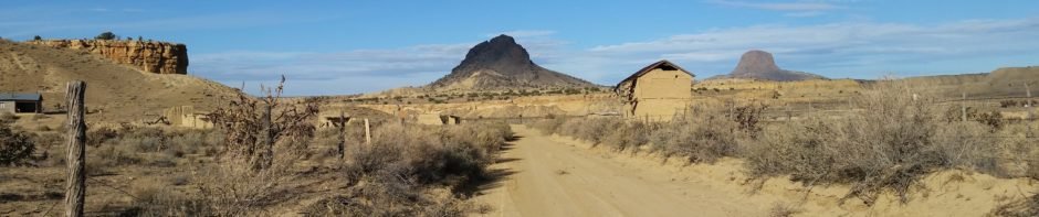
Before heading back to El Cerrito for supper and Albuquerque for the night, we enjoyed a one hour horseback ride at Grindstone Stables. The trail led up and down through ponderosa pine forest; the horses treated us well as did the wranglers. Another good time.