Having exploited all the trail for which I could find others’ tracks, I spent some time on GoogleEarth and top maps (for example, Lists of John’s Interactive Map) to develop a plan to hike up Telephone Canyon, descend into Calaveras Canyon via a side canyon we had visited earlier (Calaveras Canyon Hike), proceed to the upper end of Calaveras, cross over into Moon Canyon, and find our way back to parking.
The Hike
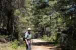
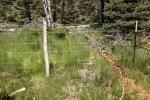
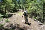
Proceeding up Telephone Canyon was via a two-track – easy walking. About .7 mile along, we encountered a crossing two-track which we followed northwest for about .4 mile until finding a slope on the right that looked promising for a descent into the Calaveras side canyon. This required some bushwhacking, working around deadfall and underbrush for about .3 mile brought us to a fence and the open canyon bottom. Another .3 mile and we found ourselves in Calaveras Canyon (just as planned!).
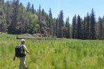
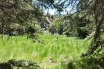
We then headed up (north) in Calaveras Canyon; the canyon floor was open but the surface was quite rough with the large clumps of grass we’ve found in other canyons. Fortunately, the cowpath through the center of the canyon floor made walking easier. We proceeded up the canyon for about 1.3 miles, to virtually the head of the canyon, and then headed northwest (to the left), up the slop to gain the ridge top from which we planned to descend from there in to Moon Canyon. Because I got a bit confused and didn’t take an easy descent into Moon Canyon, we hiked south on the ridgetop until we found another reasonable slope down into Moon Canyon. This required some bushwacking, so after about .4 mile we stopped for our mid-hike break.
Then we descended into Moon Canyon where the canyon floor made for easy hiking. We soon came upon a two-track which we followed for about .7 miles, then ascended up a medium steep slop to the ridge top, back down into Telephone Canyon where we picked up the outbound two-track and returned to parking.
Highlight
I was pleased with the lessons learned from this first off-the-beaten path hike. Heretofore we’ve followed tracks published by others; I hope this and our reports of such hikes in the future will be helpful for others wishing to enjoy these wonderful Jemez Mountains.
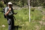
Jay here: This was a challenging hike for total length and ascents. And don’t forget the bushwacking…there was plenty of that as well. We departed the 2-track at one point and plunged down a steep hill, followed by a barbed wire fence that had to be crawled under….just another walk in the woods.
Statistics
Total Distance: 6.88 miles
Elevation: start ft, maximum 8,987 ft, minimum 8,525 ft
Gross gain: 462 ft. Aggregate ascending 1,495 ft, descending 1,491 ft
Maximum slope: 34% ascending, 45% descending, 7% average
Duration: 4:13
| GPS Track Files for Download | |
75 Downloads |
|
|---|---|
292 Downloads |
|
I urge you to explore our hiking tracks with Google Earth. With the virtual 3-dimensional presentation, achieved by panning and tilting the view, you can get a much better idea of the hikes and terrain than you can get from the 2-dimensional screenshot above. For assistance: Using Google Earth Track Files.
References ASCHG: Calaveras Canyon – Big Side Canyon Hike
(upper 1/2 mile overlaps our Telephone Canyon Hike)
AroundGuides: Telephone Canyon
(great interactive map of area features)


